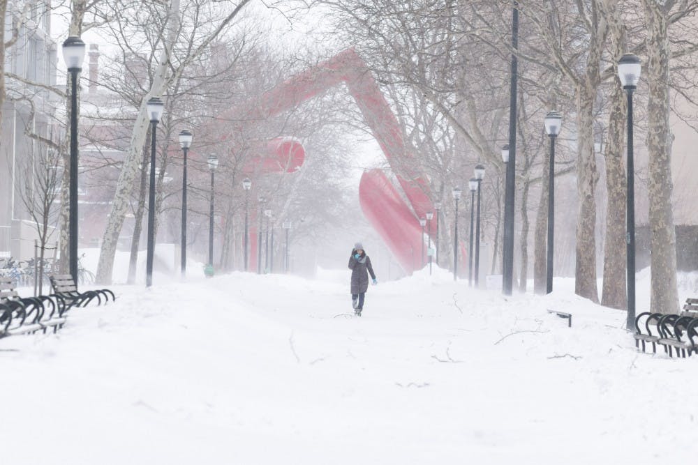
Philadelphia has been under a snow emergency since 9 p.m. Friday night.
Credit: Julio SosaThe last 12-16 hours have been absolutely incredible from a meteorological perspective. Everything from the extremely heavy snow and blinding winds, this storm will certainly go down in the history books. However, we still have several more hours of snow and wind to deal with. If you look outside now, you may not see a whole lot of snow falling, but that will not last for very long. In fact, snow is filling back into the Philadelphia area on radar.
As of Saturday afternoon, Penn's campus is covered with 14-16 inches of snow, with 5-10 inches still on the way. By the time the blizzard ends, I predict 18-24 inches of snow on the ground. At 1 p.m. on Saturday, Philadelphia International Airport recorded 17.7 inches on the ground.

The storm system parked itself just off the coast of the Delmarva Peninsula by Saturday afternoon, throwing very heavy bands of snow back towards us. Right now, the heaviest of the snow is located to our north and west (Allentown, Reading etc.) where snow is falling upwards of 3 inches per hour.
As we go through the afternoon and evening tonight, those bands of snow will shift back towards Philadelphia and move very slowly for several hours. This could drop several inches of snow on us very quickly. Although Philadelphia officially may not surpass the Blizzard of 1996 (with over 30 inches of snow) in terms of snow totals, this has certainly been one of the closest since then.
So, instead of worrying about why it’s not snowing, throw on a coat and some gloves and go ski down Locust, have a snowball fight or make a snowman.
The Daily Pennsylvanian is an independent, student-run newspaper. Please consider making a donation to support the coverage that shapes the University. Your generosity ensures a future of strong journalism at Penn.
DonatePlease note All comments are eligible for publication in The Daily Pennsylvanian.


